Sahel - Protected Areas & Hydrology
Overview of protected sites and areas
Protected Areas & Ramsar Sites
The interactive map showcasts Ramsar Sites and data from the World Database on Protected Areas (WDPA) in the Sahel Region. The map has been created with Python using the Folium Library for mapping. Click on the polygons and icons to find out more
Ramsar Sites are designated wetlands of international importance, recognized for their ecological significance and the critical role they play in conserving biodiversity, sustaining water resources, and supporting local communities Data Source: Ramsar Sites Information Service
The World Database of Protected Areas (WDPA) contributes essential data on the broader protected areas network within the Sahel region. These areas include national parks, wildlife reserves, and other conservation zones established to safeguard terrestrial and marine habitats, preserve natural heritage, and promote sustainable management practices. Data Source: Protected Planet World Database on Protected Areas(WPDA)
The number of Ramsar sites is equally displayed in the bar chart below
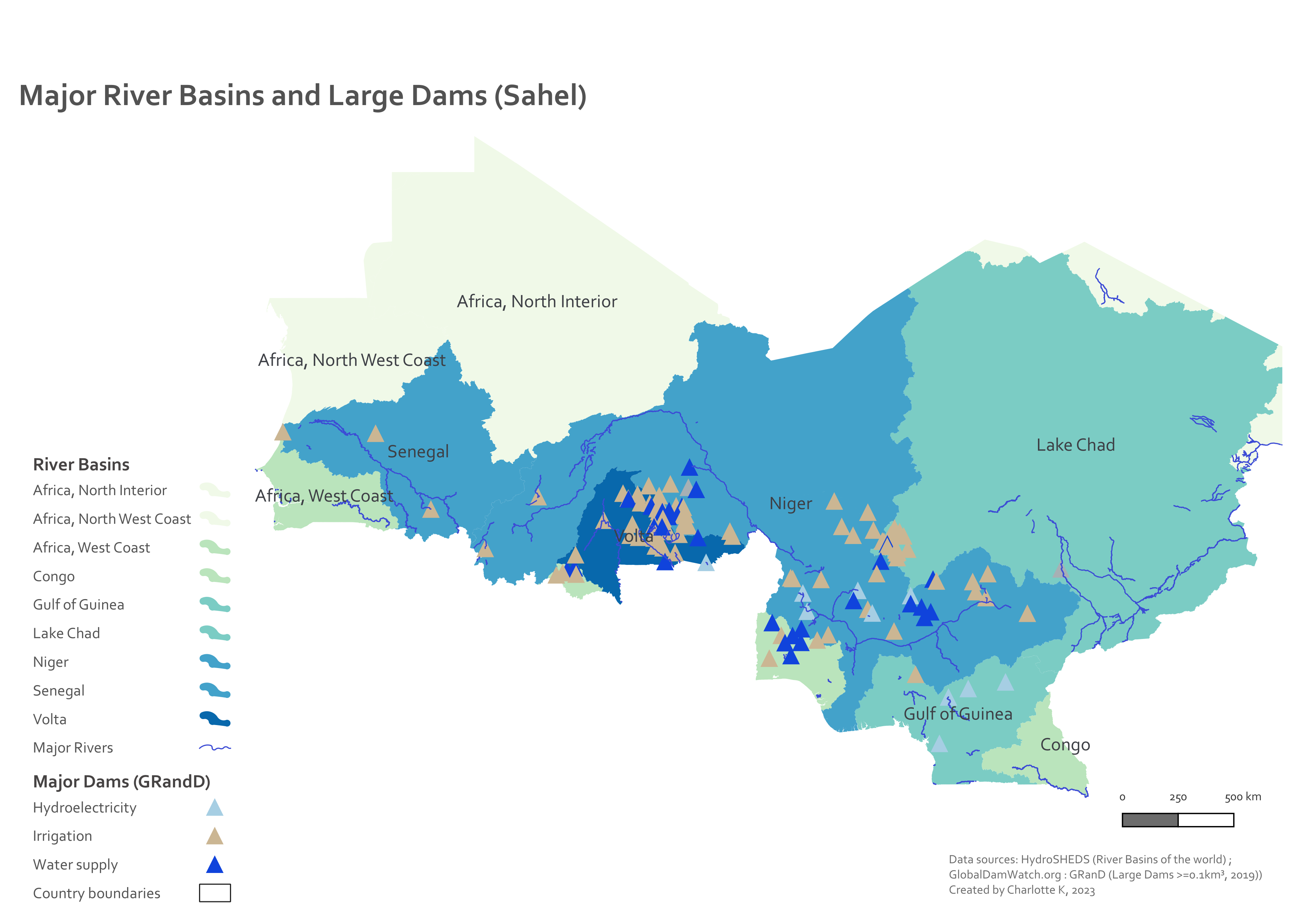
Hydrology
Overview of Main River Basins (HydroSHED) data and large dams.
Despite its challenging semi-arid to arid climate, the Sahel supports various agricultural activities that are vital for the livelihoods and food security of its inhabitants.