The Sahel
Landscape
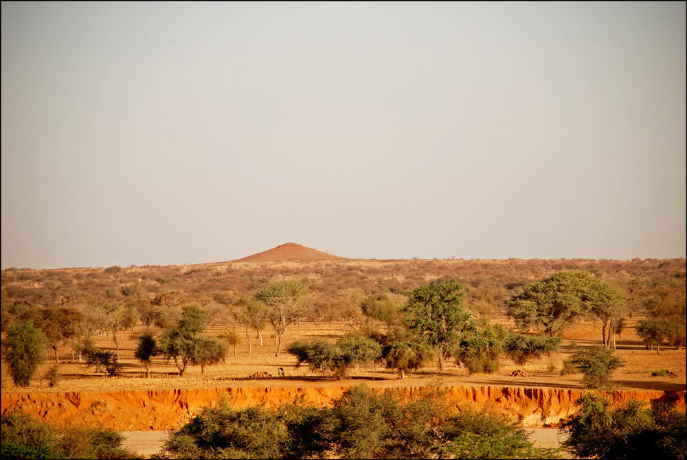
Southern Sahel: The southern areas of the Sahel, closer to the Sahelian-Sudanese transition zone, have relatively more abundant water resources and fertile soils. This region supports more intensive agriculture, including the cultivation of crops like millet, sorghum, maize, and rice. Livestock farming is also common, benefiting from better grazing conditions. As a result, the southern Sahel tends to have higher population densities and more significant urban centers. Northern Sahel: The northern parts of the Sahel, closer to the Sahara Desert, have a more arid and semi-arid climate, with limited access to water and less fertile soils. Consequently, economic activities in these areas are generally more limited, with fewer opportunities for agriculture and pastoralism. Nomadic or semi-nomadic herding of livestock, particularly camels, is often practiced as a means of livelihood. Due to the harsher environment, population densities are lower in the northern Sahel (Wikipedia) .